CORE · South Carolina Lowlands
Environmental history beneath the floodplain
In the South Carolina lowlands, abandoned river channels can collect sediment after the main current has moved elsewhere. CORE investigates the age and continuity of these deposits to establish what environmental history they preserve and how it relates to the surrounding landscape.
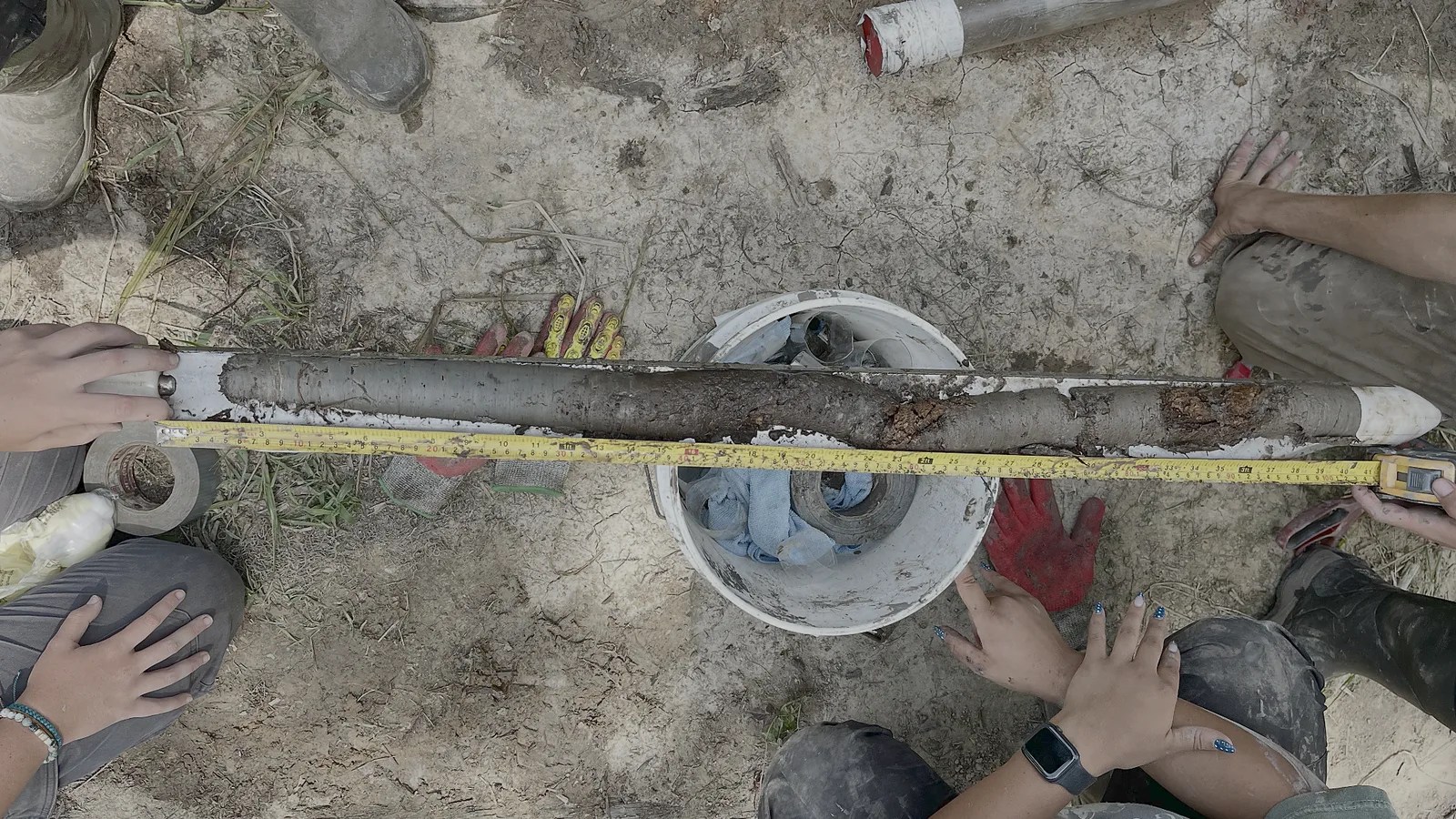
Characterizing Oxbows for Reconstructing the Environment
From river bend to sediment basin
When a river cuts through the neck of a meander, the former bend may remain as an oxbow lake. Fine sediment and organic matter can accumulate in the quieter water, preserving pollen, charcoal, and other evidence of conditions within the basin and on the land that drains into it. If the sequence survives and can be dated, it may extend environmental history well beyond written records.
Much depends on what happened to the channel after the river moved. Floods may reconnect it with the main current, erode older deposits, or bring in material from elsewhere; sedimentation may also pause. Dating channel abandonment helps distinguish the deposits of the active river from those that accumulated later, but the shape and position of the basin are needed to understand how much of that later record remains.
The investigation
What does a change in the core represent?
CORE relates observations in a sediment column to the former channel’s shape and connection with the river. Aerial imagery, elevation data, and observations on the ground help identify where a core can sample that history. Changes in texture, organic content, and the boundaries between layers may indicate a change in deposition or a gap in the record.
Dating is part of that interpretation. Material moved from an older deposit can be older than the sediment surrounding it, so age estimates must be assessed alongside evidence of disturbance or redeposition.
A shift in pollen or charcoal can suggest a change in vegetation or burning, while a new sediment layer may record flooding or erosion. Establishing the cause requires comparisons beyond a single core. Dated records from other basins help test whether the change was confined to one channel, originated upstream, or accompanied a wider climatic transition.
Archaeological and historical evidence provides an independent account of occupation and land use. Where those records overlap with the sediment sequence, their timing helps us assess the contribution of human activity to changes in vegetation, burning, or erosion.
A question under investigation
Is the Younger Dryas preserved here?
The Younger Dryas, an interval of abrupt climate change near the end of the last ice age, is one transition we hope to investigate. We first need to establish whether the selected basins contain sediments of this age and whether deposition was sufficiently continuous to preserve the transition. Depth and appearance alone cannot identify it in a core.