Projects
Current projects
Current projects in South Carolina examine former rice fields and abandoned river channels, which preserve different records of environmental change. In southern Mesopotamia, the sediments beneath ancient cities place urban history within a shifting delta. RICE, CORE, and EDEN develop these records to examine how people lived with, modified, and inherited changing waterscapes.

RICE · South Carolina Lowcountry
The afterlives of tidal rice landscapes
Rice cultivation has ended across much of the Lowcountry, but dikes and canals built through enslaved labor still direct water through the former fields. RICE investigates how this history shapes present wetland conditions and the decisions facing their managers.
Explore RICE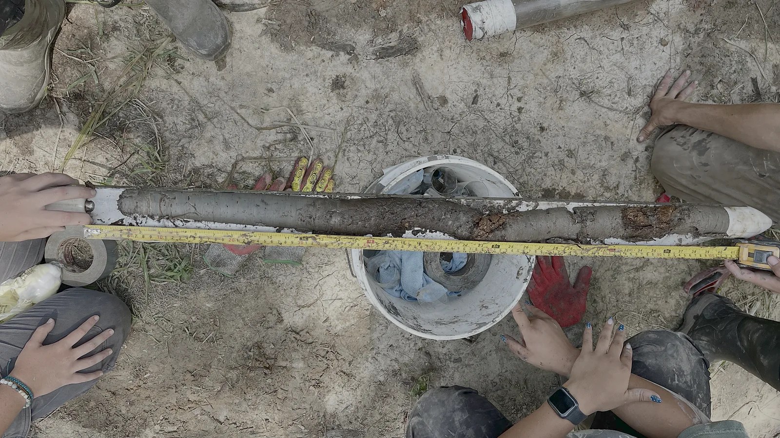
CORE · South Carolina Lowlands
Environmental history beneath the floodplain
When a river abandons a channel, deposits in the former bend may preserve an environmental history lost elsewhere on the floodplain. CORE investigates their age and continuity to establish what they can tell us about changes in the surrounding landscape.
Explore CORE
EDEN · Southern Mesopotamia
Rivers, tides, and the making of urban Mesopotamia
As the Tigris–Euphrates–Karun delta developed, rivers shifted course and the reach of the tides changed. EDEN reconstructs those settings to investigate how changing access to water shaped cultivation and the growth and reorganization of early cities.
Explore EDENWithin RICE · Hobcaw Barony
Reading Between the Tides
At Hobcaw Barony on the South Carolina coast, sediment cores, tree rings, and environmental monitoring connect the history of land use with changing wetland conditions. The project asks how that longer record can inform the stewardship of an estuary that continues to change. It is part of the National Geographic Society and forNature initiative.
Explore the Hobcaw project