GeoArches · Clemson University
How societies build—and are rebuilt by—changing waterscapes.
GeoArches investigates how people have inhabited and transformed wetlands, rivers, and coasts. We ask how the work of making a living alters a landscape, and how its effects enter the lives of later generations.

Water, labor, and the making of landscapes.
Along South Carolina’s tidal rivers, embankments and canals built for rice cultivation still direct the movement of water. In southern Iraq, the remains of early cities lie within a delta whose rivers and shorelines have shifted over millennia.
We study these material traces alongside sediment records and historical documents to establish when environments changed, how people responded, and where older interventions continue to shape conditions today.
Read about the researchFieldwork and research
Current projects
Current projects examine former rice fields and river floodplains in South Carolina, and the changing delta around early cities in southern Iraq. These studies develop from the histories of particular places, while contributing to broader questions about how people organize their livelihoods in changing environments.

RICE · South Carolina
The afterlives of tidal rice landscapes
RICE examines how canals and embankments built through enslaved labor continue to shape Lowcountry wetlands, and what those histories mean for their conservation.
Explore RICE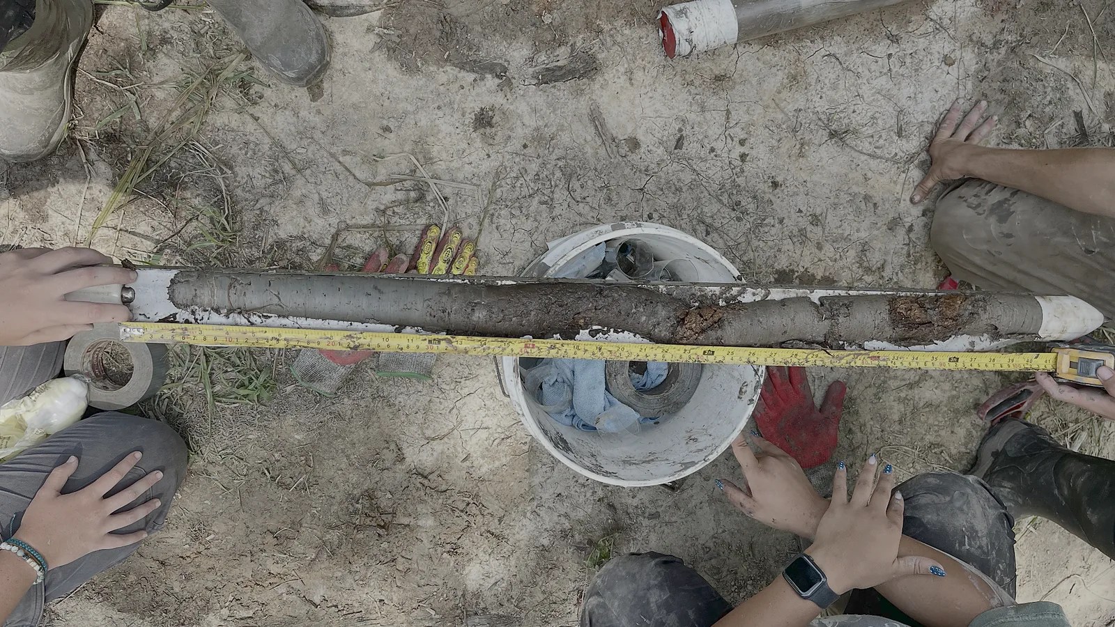
CORE · South Carolina
Environmental history beneath the floodplain
When a river changes course, the channel it leaves behind may preserve a long sediment record. CORE investigates what these deposits can tell us about flooding, vegetation, and land use.
Explore CORE
EDEN · Mesopotamia
Rivers, tides, and the making of urban Mesopotamia
EDEN reconstructs changing rivers, coastlines, and wetlands in southern Mesopotamia to understand how people organized agriculture and urban life within them.
Explore EDENHobcaw Barony · A RICE project
Reading Between the Tides
At Hobcaw Barony, we are investigating how rice cultivation and later management have shaped the wetlands present today. Sediment records, tree rings, and historical evidence help trace that sequence and assess what it means for future management.
Explore Reading Between the TidesScholarship
Recent publications
The Flooding of Lagash (Iraq)
Evidence for a late Early Dynastic flood and its relationship to conflict, infrastructure failure, and urban reorganization.
Morphodynamic Foundations of Sumer
A reconstruction of Sumer’s changing delta and coastline, and the conditions of agriculture and settlement.
South Carolina Lowcountry
GeoArches Lab
GeoArches is based at Clemson University’s Baruch Institute of Coastal Ecology and Forest Science, on the South Carolina coast.
Reed Goodman leads the lab with graduate students Caleb Yon and Reade Ward. On Reading Between the Tides, they work with collaborators in archaeology, ecology, and coastal geomorphology.